
Description
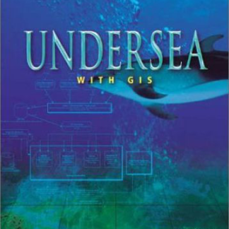
In the same way GIS has helped make analysis and mapping of the earth’s surface more accessible and powerful, GIS technology allows experts to see that large portion of the planet that is underwater. This collection of works from experts in marine biology, oceanography, aquatic resource management, and other fields charts the ways in which GIS is beginning to help improve understanding of the oceans. Issues discussed are efforts to map the sea’s floor, tracking the journeys of whales and tuna to preserve species in threatened areas, developing new kinds of nautical charts to give mariners an astonishing three-dimensional view of their progress through the water, and how GIS might be used to more efficiently track the location of sunken vessels.

Reviews
There are no reviews yet.