Description
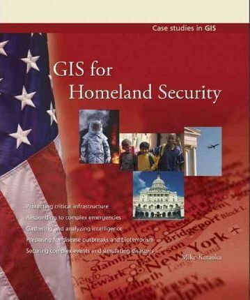
GIS for Homeland Security shows how GIS is used for gathering and analyzing intelligence, protecting critical infrastructure, responding to complex emergencies, preparing for disease outbreaks and bioterrorism, securing complex events, and simulating disasters. The book also spotlights the visionaries who have applied spatial technology in the field to develop model solutions to real threats. There is a final chapter that looks ahead at the growing role of GIS in homeland security. “”GIS for Homeland Security”” is a resource for experienced GIS users and decision makers, as well as for those new to spatial technology.


Reviews
There are no reviews yet.