Description
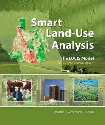
An indispensable guide for land-use planners, analysts, and students, “”Smart Land-Use Analysis: The LUCIS Model”” provides readers with the information needed to understand and implement the land-use conflict identification strategy (LUCIS). Developed by the book’s authors, the LUCIS model uses the ArcGIS geoprocessing framework, particularly ModelBuilder, to analyze suitability and preference for major land-use categories, determine potential future conflict among the categories, and build future land-use scenarios. Concepts are illustrated by a case study of a nine-county region of north central Florida where LUCIS has been applied with great success. ArcGIS assignments are provided at various points along the way to reinforce the concepts and provide hands-on experience with LUCIS techniques. The supplemental DVD includes assignment data, case study data, and all of the geoprocessing models required to implement LUCIS.


Reviews
There are no reviews yet.