Description
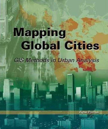
Spatial thinking and analysis are essential for informed urban policy making in a global world. Urban planners need to understand how cities are organized and how residential patterns are shaped as a result of population and employment changes. “”Mapping Global Cities: GIS Methods in Urban Analysis”” illustrates how GIS technology can be applied to urban planning and policy challenges to enhance our efforts in providing solutions. This book is a valuable resource for urban studies and planning students, international development professionals, and human settlement experts in the developing world, as well as urban planning practitioners. The book’s accompanying CD contains data and printable, step-by-step GIS exercises, including a self-directed project, that enable students and users to make maps and explore themes covered in the chapters. ArcView 9 and the ArcGIS Spatial Analyst extension are required to complete the exercises.
Reviews
There are no reviews yet.