Description
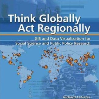
Space is an important dimension in most real-world issues that concern social scientists and students of public policy. “”Think Globally, Act Regionally: GIS and Data Visualization for Social Science and Public Policy Research”” explores the spatial aspects of issues such as the preservation of farmland and endangered plants and animals, urban and regional planning, and management of light-rail lines. This book is designed as a monthlong module with structured exercises addressing themes of urbanization, GIS technology, data visualization, the balance between the built and natural environments, and spatial equity and regional integration. The accompanying CD contains data for completing the structured exercises in the book. ArcView and the ArcGIS Spatial Analyst extension are required to complete the exercises.


Reviews
There are no reviews yet.