Description
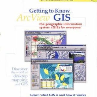
Geographic information systems (GIS) help visualize information in new ways that reveal relationships, patterns, and trends not visible with other popular systems. This book is a nontechnical introduction to GIS technology explaining what it is, how it works, and who uses it. It offers illustrated, step-by-step procedures for using ArcView GIS Version 3.1 software to perform dozens of GIS tasks. The book is full of exercises that can also be worked on by using the software and data provided on the CD-ROM. Readers will come away with a solid understanding of basic GIS concepts and the skills needed to embark on an ArcView GIS project of their own.


Reviews
There are no reviews yet.